Go to homepage

Sentier de la Trientale (Parc naturel Hautes Fagnes-Eifel)

The Trientale trail is located in the Hautes Fagnes. You'll discover the English helix and a magnificent viewpoint. The accessible route is approximately 750 m long. At the end of the route, turn around and head back to the car park. It is possible to be picked up by car at the end of the trail.

Practical information :
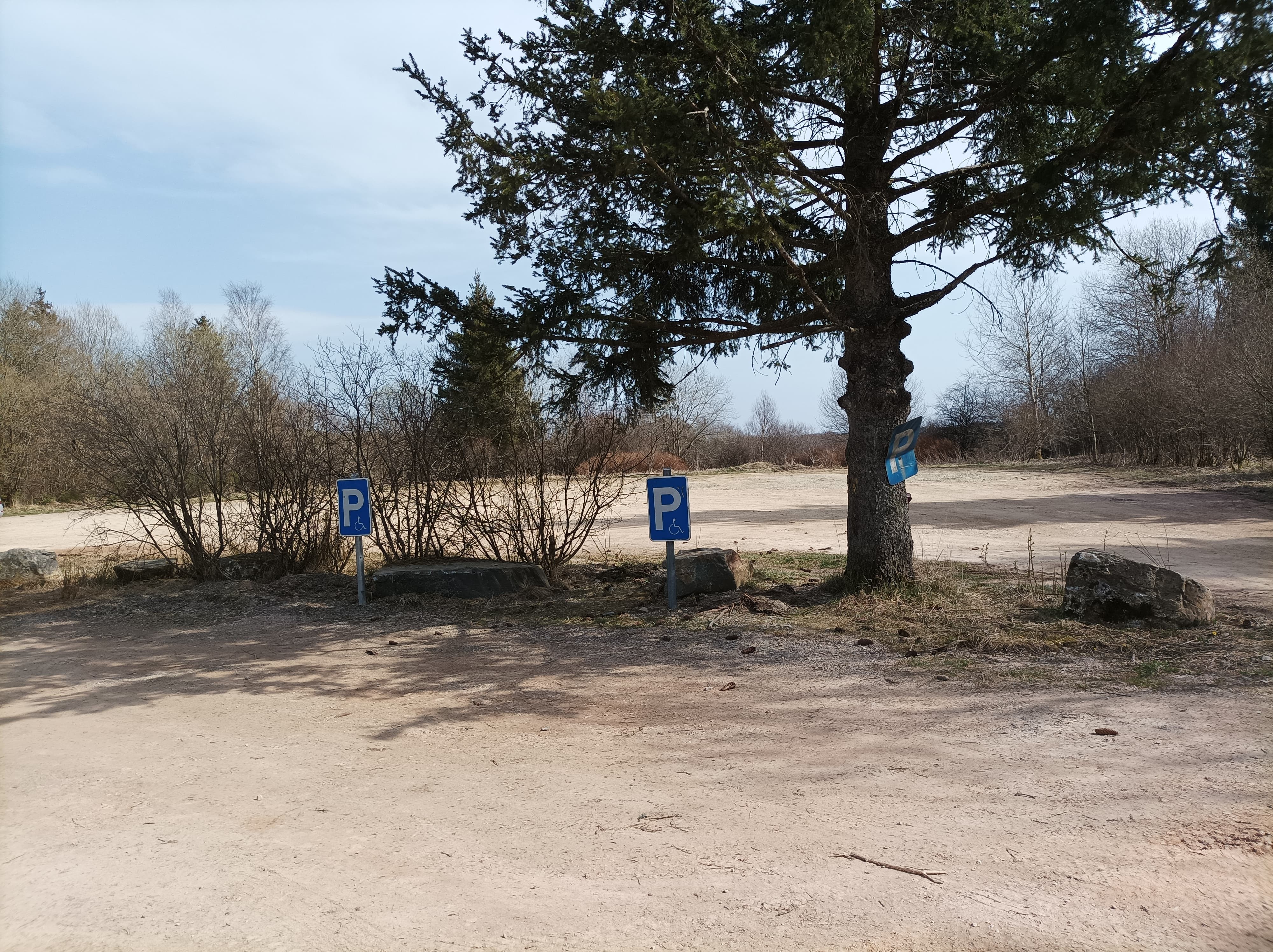
  • GPS coordinates : 50°29'32.4 "N 6°07'53.3 "E

  • The return journey is 1.5 km long.

  • The walk is a straight line, so there's no risk of making a mistake.

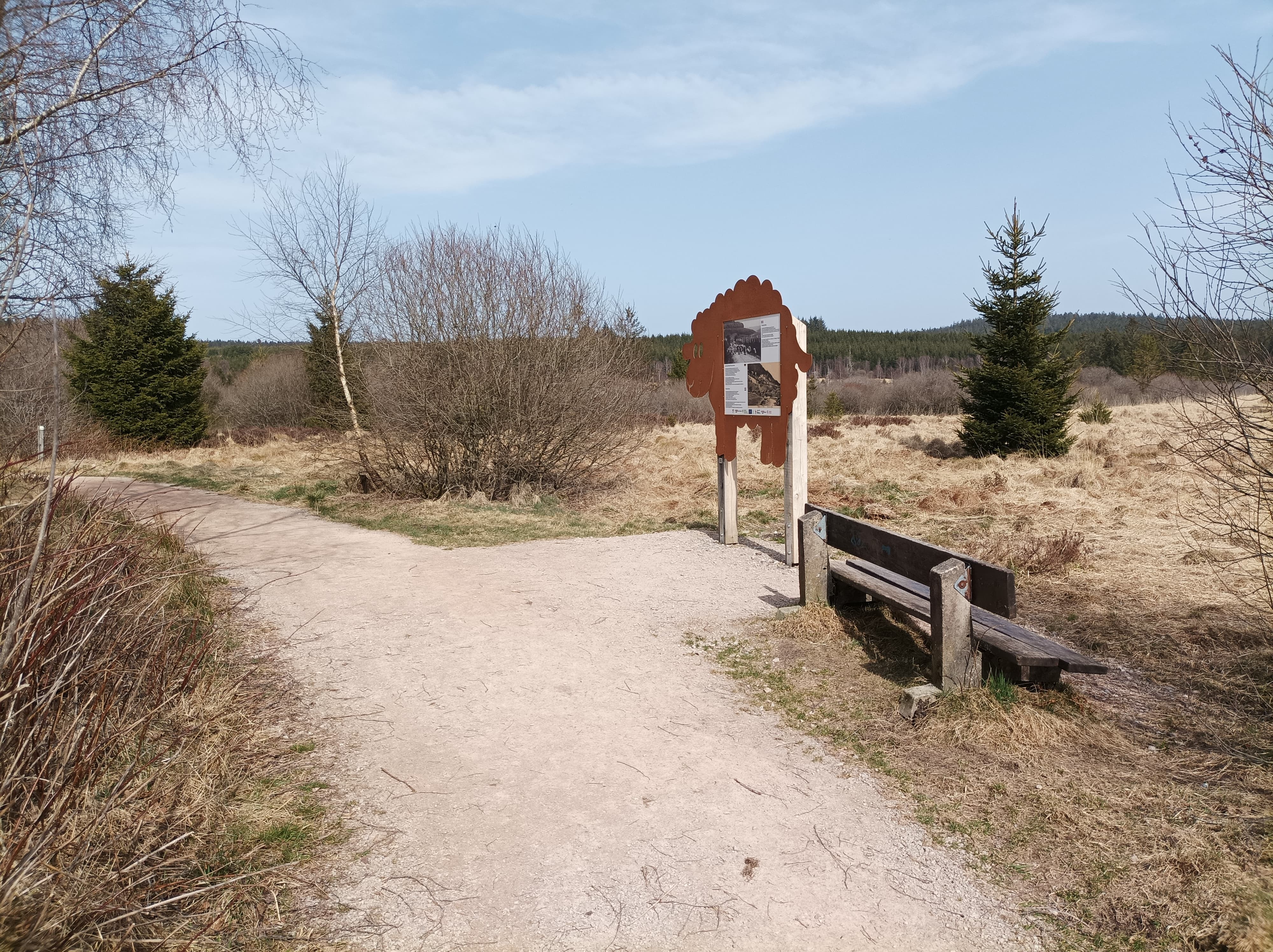
  • The information panels are accessible and there is a bench nearby.

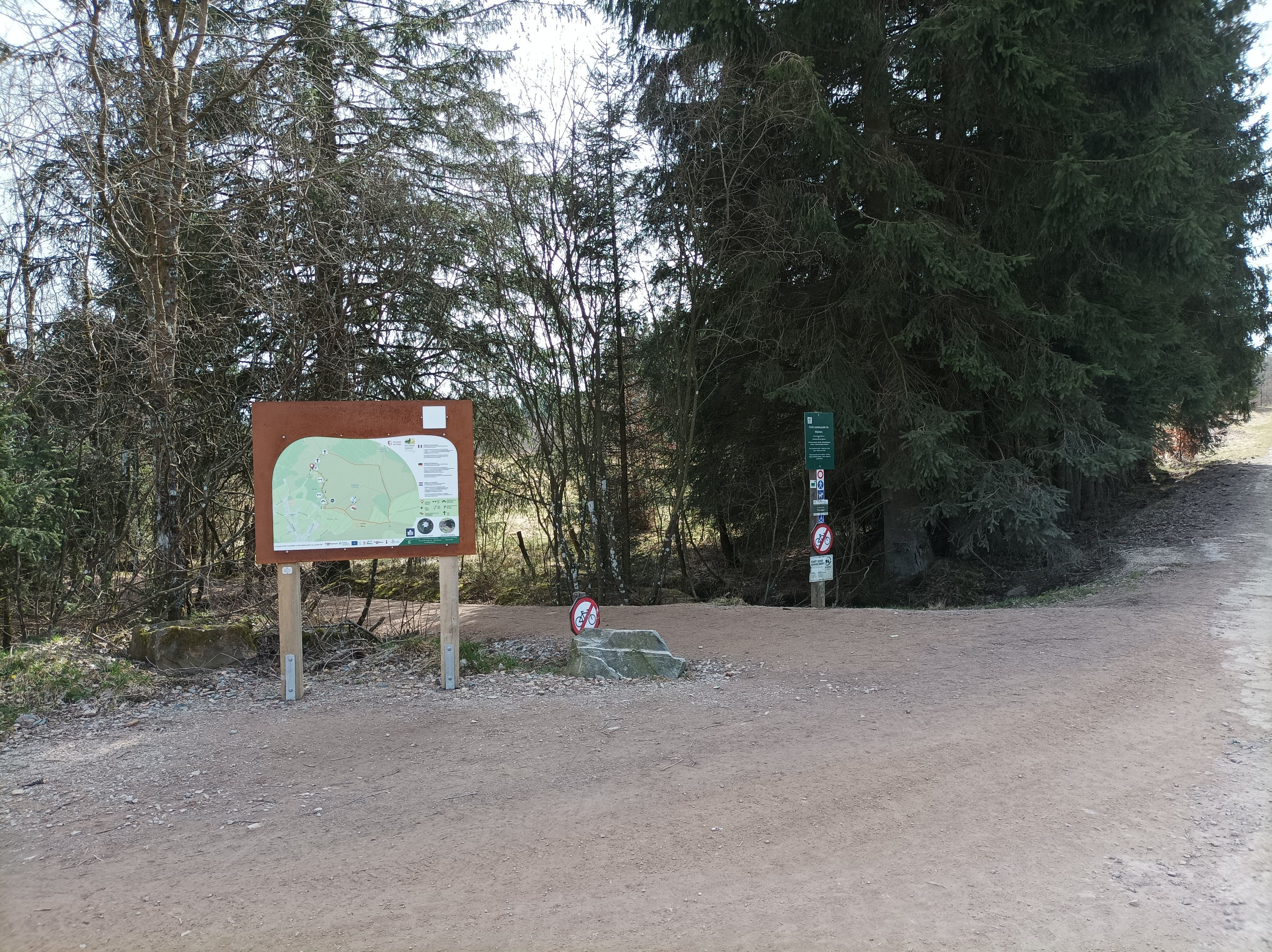
  • At the end of the PRM section, the path continues but there are signs to identify the end of the section.

  • A drop-off point is provided at the end of the section for those who do not wish to turn back.

My specific needs

Validity: From 18 March 2022 on 18 March 2026

Audit conducted by

AccessAndGo-ABP

Access-i informs you about the accessibility of this place based on data collected on-site at a given time. Any changes after the visit by Access-i are the responsibility of the operator.

Dernière mise à jour effectuée le 6 January 2026 - 15:08

Technical information

Testimonials

No testimonials available

Contact information

General contact

Contact person

See also

These locations might interest you

Mons

Mons en Lumières 2026

Mons en Lumières returns to illuminate the historic heart of the city !

From 22 to 25 January 2026, from 6 p.m. to midnight, the city centre of Mons will come alive with 17 light installations and projections.

Accessible to all and completely free of charge, the 3 km route will showcase local, national and international talent in a unique urban and heritage setting.

Starting and finishing point if you wish to complete the entire route : Place Léopold, Mons.

View People with comprehension difficulties
Find other locations